1 – Excel.
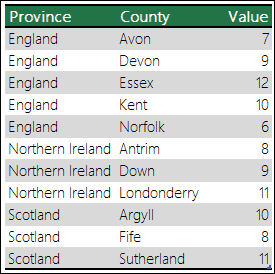
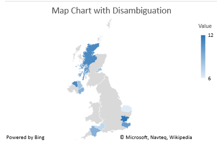
Microsoft Excel 2019 (and later) allow you to import .csv files into Excel and represent the data using a map.
For a tutorial video showing how to do this, here is one from Microsoft…


2 – Google Maps.
Free, just need a google account. Almost as good as the Arcgis system.
I have used this in the past and it is very straightforward and FREE.
https://www.google.com/maps/d/
https://www.google.com/maps/d/edit?mid=15ApL0lvNlRFL8GXomwOzr395U5tNPRI&usp=sharing
3 – Mapbox (Studio)
Mapbox studio allows some very creative maps to be visualised.
https://www.mapbox.com/industries/media
You can create a free demo account.
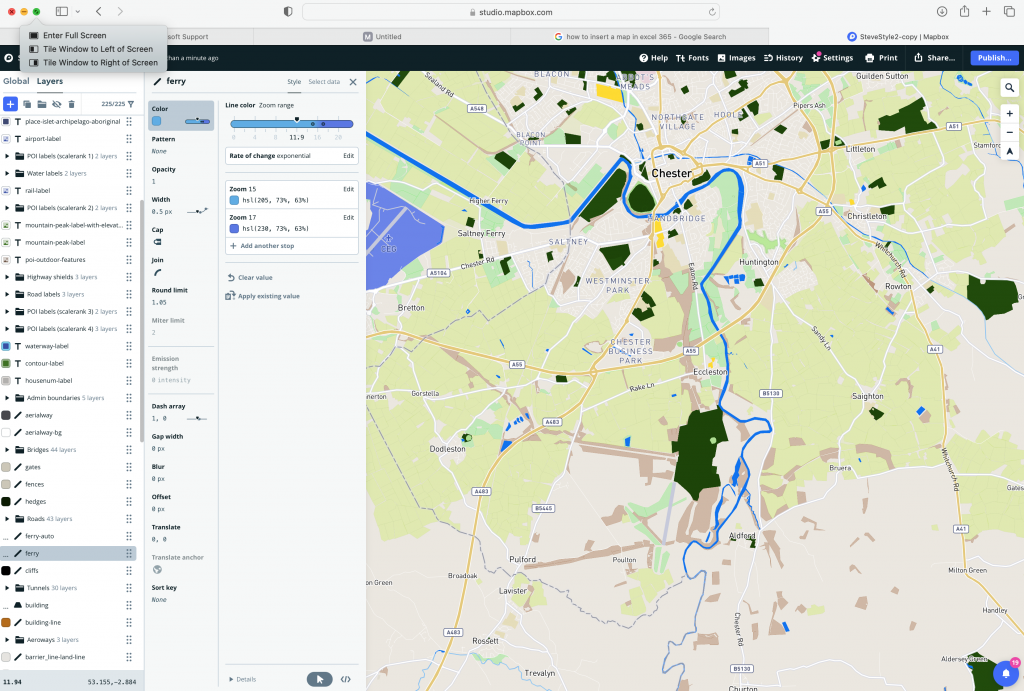
Here is an example of a map I created in Mapbox Studio with custom colours.

4 – ARCGIS
Maps created using ArcGIS look very professional and high res, however it is quite expensive. Even a student account account costs £145 + vat per year. As a business owner for commercial use expect to pay £824 + vat.
Can get a free 21 day trial.
e.g. The following Church of England Parish map showing all churches ( listed and unlisted ) and Parish deprivation ranking.
here are some other examples…
https://doc.arcgis.com/en/arcgis-storymaps/gallery/
Here’s a nice example showing the migratory pattern of birds using ARCGIS mapping.
https://storymaps.arcgis.com/collections/207d79307cf8413ba72cec8ff14ff37e?item=6
5 – Openstreetmap.org
This is the ‘wikipedia’ of maps where everyone is quite free to add details to an ‘open map’. There are specific tags, so you are limited to what you can add. For example, there is no ‘grave’ tag so you cannot yet add tombstones/graves to a map.
6 – Mobile Apps using Map data
All of the above technologies will integrate well with mobile app technology so a dedicated map app could be created using any of the above map styles to visualise a specific type of data from 3rd party sources.